|
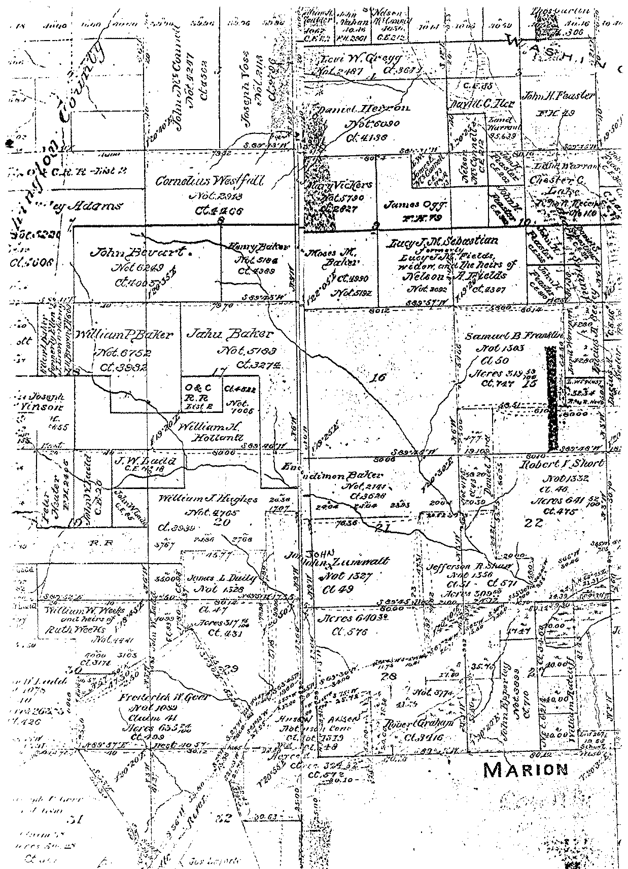
This 1862 map is of the
Ladd Hill area west of Wilsonville. The cemetery
is located in the southern part of the Moses M. Baker
claim near the center but is not yet marked on the map. The path of the Willamette
River is indicated by river markings across the lower right. The
Corral and Mill Creek system is the main stream system
in the center. This map overlaps slightly with the
1862 East Section.
. |